


The UK is set to be hit with a huge blizzard, with weather maps showing heavy snowfall heading our way.
The mercury is set to plummet as the week progresses as a result of a 1,000-mile wide polar vortex on the horizon, which could leave the country colder than Iceland.
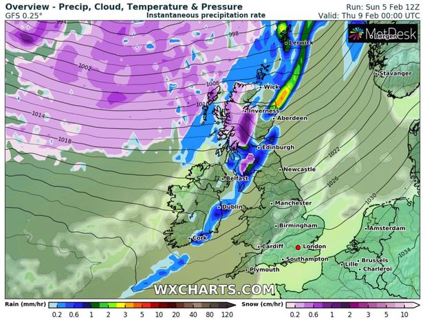
Meteorological maps showed a band of snow headed towards Scotland, where upwards of 6cm was forecast in the Highlands and the west from Wednesday.
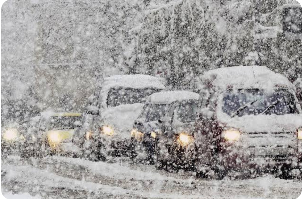
Meanwhile, a Met Office cold weather alert has been in place since Friday and currently stands at level two.
The alert read: “There is a 60% probability of severe cold weather between 18:00 on Sunday and 18:00 on Tuesday in parts of England.
“This weather could increase the health risks to vulnerable patients and disrupt the delivery of services. Please refer to the national Cold Weather Plan and your Trust’s emergency plan for appropriate preventive action.
A Met Office cold weather alert has been in place since Friday and currently stands at level two (
Image: Getty Images)
Experts suggested a sudden stratospheric warning could create the conditions to bring another bitterly cold snap.
The same weather system helped cause 2018’s relentless snow storms and the Big Freeze in December 2010.
While Met Office’ long-range forecasts are yet to confirm a period of snow, forecasters says they are keeping regular tabs on the Pole.
The 10-14 day timeframe suggests mid-February potentially could see a widespread blanket.